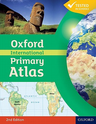
This new edition of the Oxford International Primary Atlas is clear, bright and informative. It includes up-to-date country data, easy-to-read colourful mapping, and worldwide topographic content, including areas such as Europe, Malta, Cyprus, Middle East, Malaysia and Hong Kong. It features key geographical themes such as landscapes, water, settlements, connections, and environments. Information is presented in an accessible format based on research into how young children use maps, and easy-to-use features include learning statements to summarize each theme, focus panels to prompt independen... View More...
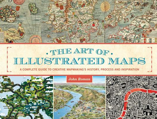
While literally hundreds of books exist on the subject of "cartographic" maps, "The Art of Illustrated Maps" is the first book EVER to fully explore the world of conceptual, "imaginative" mapping. Author John Roman refers to illustrated maps as "the creative nonfiction of cartography," and his book reveals how and why the human mind instinctively recognizes and accepts the artistic license evoked by this unique art form. Drawing from numerous references, "The Art of Illustrated Maps" traces the 2000-year history of a specialized branch of illustration that historians claim to be "the oldest va... View More...